

 |
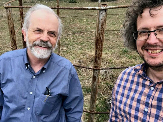
| My son, Joe 3, and I visited a Kerr County historical relic from 1856. Click on any image to enlarge. |
About a month ago, I wrote about a part of the mural at the Butt-Holdsworth Memorial Library. It was painted in 1967 by Merrill Doyle, and included scenes from Kerr County’s history, scenes both real and imagined.
One of the illustrations in the mural is labeled the “Bone Yard Fight,” and it shows a group of settlers in mortal combat with a group of Native Americans.
Here’s what I said in early March:
 |
| Detail from library mural |
“My search for this rock began in 1967, when I was six years old.
“The mural is still on the walls of the library, upstairs, enclosed in a quiet reading room. Yet one of the scenes depicted there is anything but quiet.
“The scene has a title: “Bone Yard Fight 1856.” I remember studying it closely, even as a boy, fascinated by the violence it showed.”
As with most children of the 1960s, I’d spent plenty of time playing cowboys and Indians. I’d also been fascinated by a particularly gruesome book, “Album of Gunfighters,” which was compiled by J. Marvin Hunter and Noah H. Rose. The fight scene by Merrill Doyle fit right in with these experiences.
Later, as I learned more about the history of our community, I learned the “Boneyard Fight” illustration documented an actual event.
The details, in brief:
 |
| 1990s photograph |
They made camp near the river, stacked their guns against a tree, and warmed themselves by a roaring fire. Their camp was observed by the raiding party from the top of a bluff during the evening.
Early the next morning, two of the party left to hunt deer, while the others groggily prepared for another day of pursuit. At that very moment, the Native Americans attacked, first taking the settlers’ guns and using them, as well as bows and arrows, against the settlers. All but one of the settlers was severely wounded. The settlers scattered into the brush.
Meanwhile the two men who’d left to hunt deer returned. One of them, a man named Dan Murphy, was killed instantly as he entered the settlers’ camp.
Murphy was later buried where he fell. A flat stone was tilted upright, and this was scratched on its surface: “D. Murphy/ Killed by Indians 1856”
 |
| An old man with an older grave marker |
Reading his clues, I wondered where the grave marker might be – and if it even still existed. Each time I was in the Boneyard area, I always looked for Murphy’s stone, scanning what I could see from across fences and from the top of bluffs along the river.
About two months ago I found a photograph of the grave marker, taken around 1990. That meant the marker still existed – 30 years ago. I had no idea if it was still around.
The photo did provide some clues: the marker was surrounded by a fence, which appeared to be circular. Looking at the shadows, the stone was facing either north or south.
So, I fired up Google Earth, Google Maps, and even the mapping system used by Kerr Central Appraisal District on my computer. I drew a rough circle with a 2-mile radius, centered on the Boneyard Watering Hole. The result was a very large area to explore.
I found nothing.
Had it not been for a kind reader who offered me use of a better ‘satellite’ imaging system, I would never have found Dan Murphy’s grave marker. It is not visible using the Google products, or the KCAD maps. Using the improved system, I scanned back and forth, back and forth – until the circular fence and the actual stone popped up on my computer screen.
Hopping back to the KCAD maps, I learned who owned the property where the stone still stands. I contacted the owners, and they were kind enough to give me permission to visit the site. My son, Joe 3, and I traveled there about two weeks ago.
The stone is old and weathered. It’s 20 inches wide and 24 inches tall. The writing faces west. A bluff overlooks the site.
Standing there, looking around the site, I could imagine the seven young settlers and the desperate struggle they faced on that very ground. History does not record the names of those who fought them, or their fate after the conflict.
I finally knew exactly where it happened.
Until next week, all the best.
Joe Herring Jr. is a Kerrville native who enjoys working on local history mysteries. This column originally appeared in the Kerrville Daily Times April 8, 2023.

Thank you Mr. Herring for all the stories about Kerrville.
ReplyDeleteThank you for sharing.
ReplyDeleteBlessings to all.